
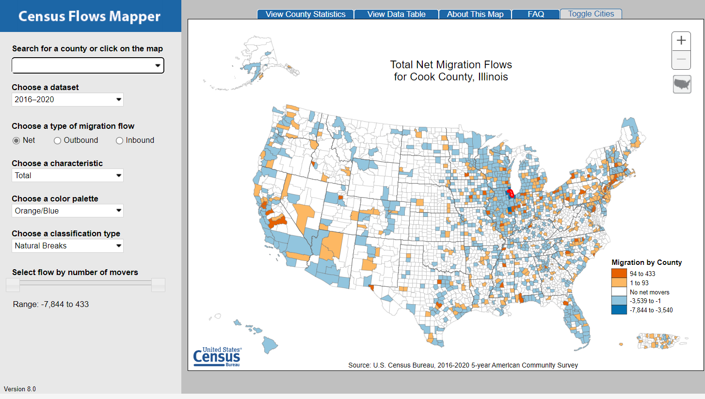
The Census Flows Mapper is a web mapping application intended to provide users with a simple interface to view and save county-to-county migration flows maps of the United States. The data are from the 2006-2010, 2007-2011, 2008-2012, 2009-2013, 2010-2014, 2011-2015, 2012-2016, 2013-2017, 2014-2018 (see note), 2015-2019, and 2016-2020 American Community Surveys.
Please click on the image or link below to launch the application.
The Internet Explorer browser is no longer supported by the Census Flows Mapper application.
Watch a short video to learn how to use the Census Flows Mapper here.
If you would like to view the data behind this application, please see the County-to-County Migration Flows Tables.
Access the Census API Developer page for your own projects.
For additional information on migration statistics, please contact the Journey-To-Work & Migration Statistics Branch at 301-763-2454.